
Gillespie Bridge and Dam Drive
Photos from the February 25th (2023) drive to the Gillespie Bridge and the remains of the Gillespie Dam. We then traveled to Gila Bend for a nice lunch at Little Italy restaurant. Thanks to Barney Rael for the description below.
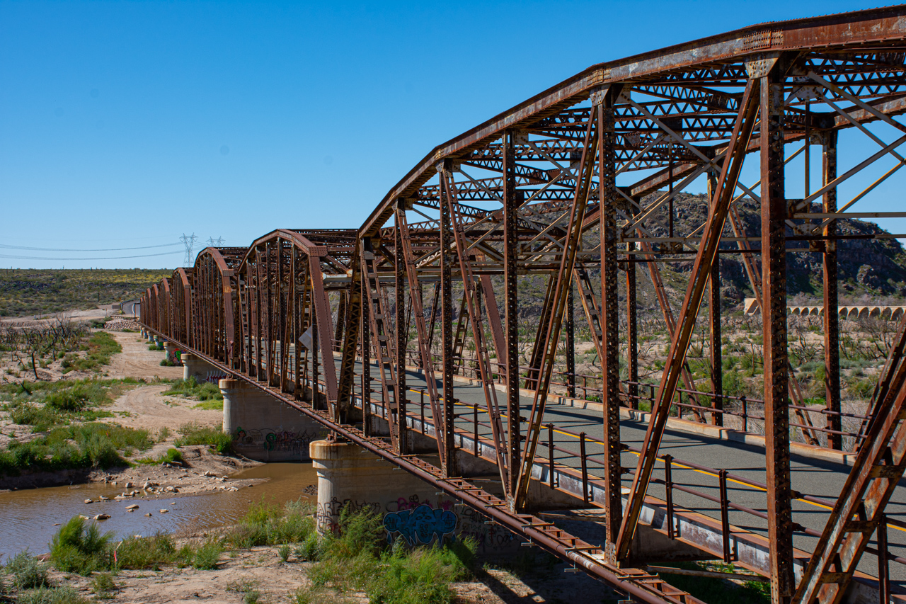
Gillespie Dam Bridge was opened for traffic in 1927. It remained part of the old U.S. 80 mainline until 1956, when the road was re-aligned. It now functions as a county bridge and is part of Historic U.S. Route 80. The Gillespie Dam bridge was one of the longest vehicular structures in Arizona when it was originally built; it was also the only steel bridge across the Gila River, and one of two remaining bridges with multi-span vehicular through trusses. The Gila River Flood of 1993 only caused some support piers to settle (because of its design and concrete support piers sunk in bedrock). It's one of the most important examples of early bridge construction in Arizona.
The Gillespie Dam was constructed circa 1920 by a local rancher, Frank Gillespie (Gillespie Land and Irrigation Company) The winter months of 1993 saw unusually high rainfall amounts that resulted in record flows through central Arizona rivers and streams, including the Salt River, a major tributary to the Gila upstream from the Gillespie Dam. At approximately 10:30 on the morning of January 9, the dam failed when a segment approximately 120 feet in length collapsed into the river.
These photos may be downloaded.


